


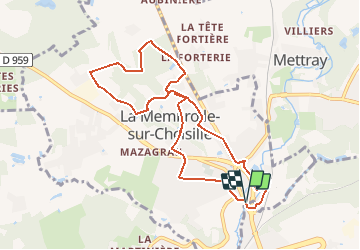


29 km | 33 km-effort


Benutzer


Kostenlosegpshiking-Anwendung
 SityTrail
IGN / Geografische Institute
SityTrail World
Die Welt öffnet sich für Sie
Tour Wandern von 9,4 km verfügbar auf Zentrum-Loiretal, Indre-et-Loire, La Membrolle-sur-Choisille. Diese Tour wird von tracegps vorgeschlagen.
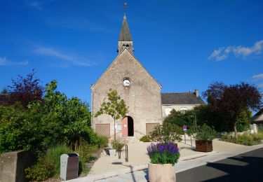
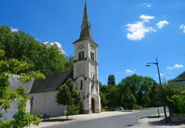
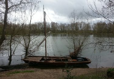
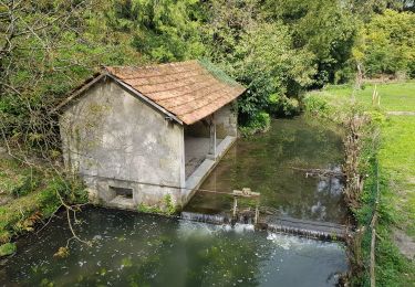
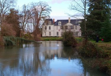
Départ du parking de l’église. Le circuit permet de passer devant les moulins Boutard, Millé, Malvau, Gruet et le moulin Milon. Retrouvez la carte des circuits sur le site de la commune.


Wandern

Wandern
Wandern
Wandern
Wandern
Wandern
Wandern
Wandern
Wandern